Harringay map of comfort zones
Motta, W.
(2016).
Harringay map of comfort zones.
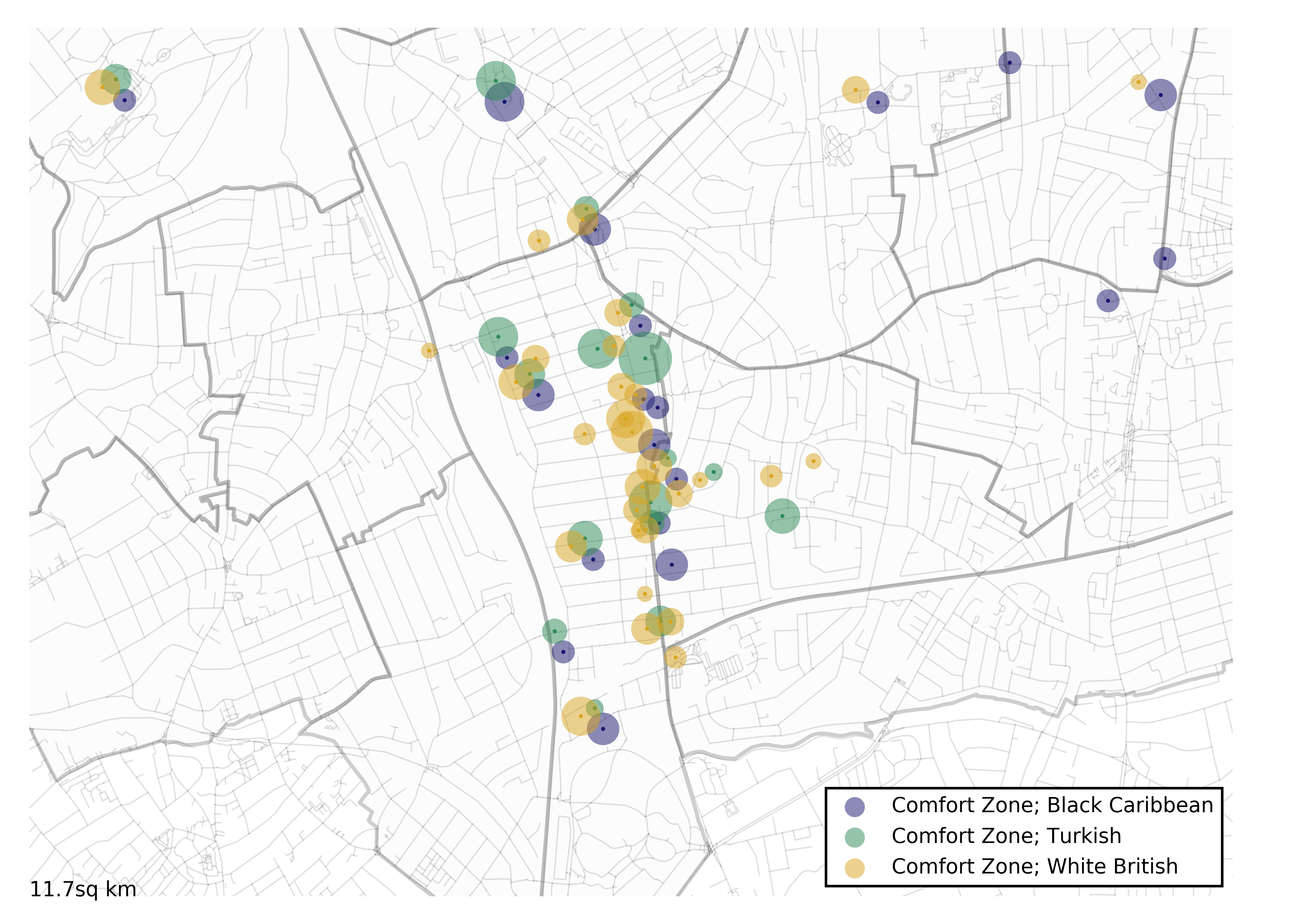
This map shows the areas that residents of Harringay feel most connected to, where they meet each other to socialise and bond together, enabling a sense of belonging to the locale. The image was produced as part of the project "Community through digital connectivity?: Communication Infrastructure in Multicultural London".
| Item Type | Audio/visual resource |
|---|---|
| Copyright holders | © 2016 OpenStreetMap contributors and 2016 Mapzen. © CC BY-SA 2.0 |
| Departments | LSE > Academic Departments > Media and Communications |
| Date Deposited | 23 February 2017 |
| URI | https://researchonline.lse.ac.uk/id/eprint/69558 |
Explore Further
- https://www.flickr.com/photos/146574108@N08/32675159480/in/photostream/ (Publisher)
- https://www.flickr.com/ (Official URL)