Harringay map of hotspots
Motta, W.
(2016).
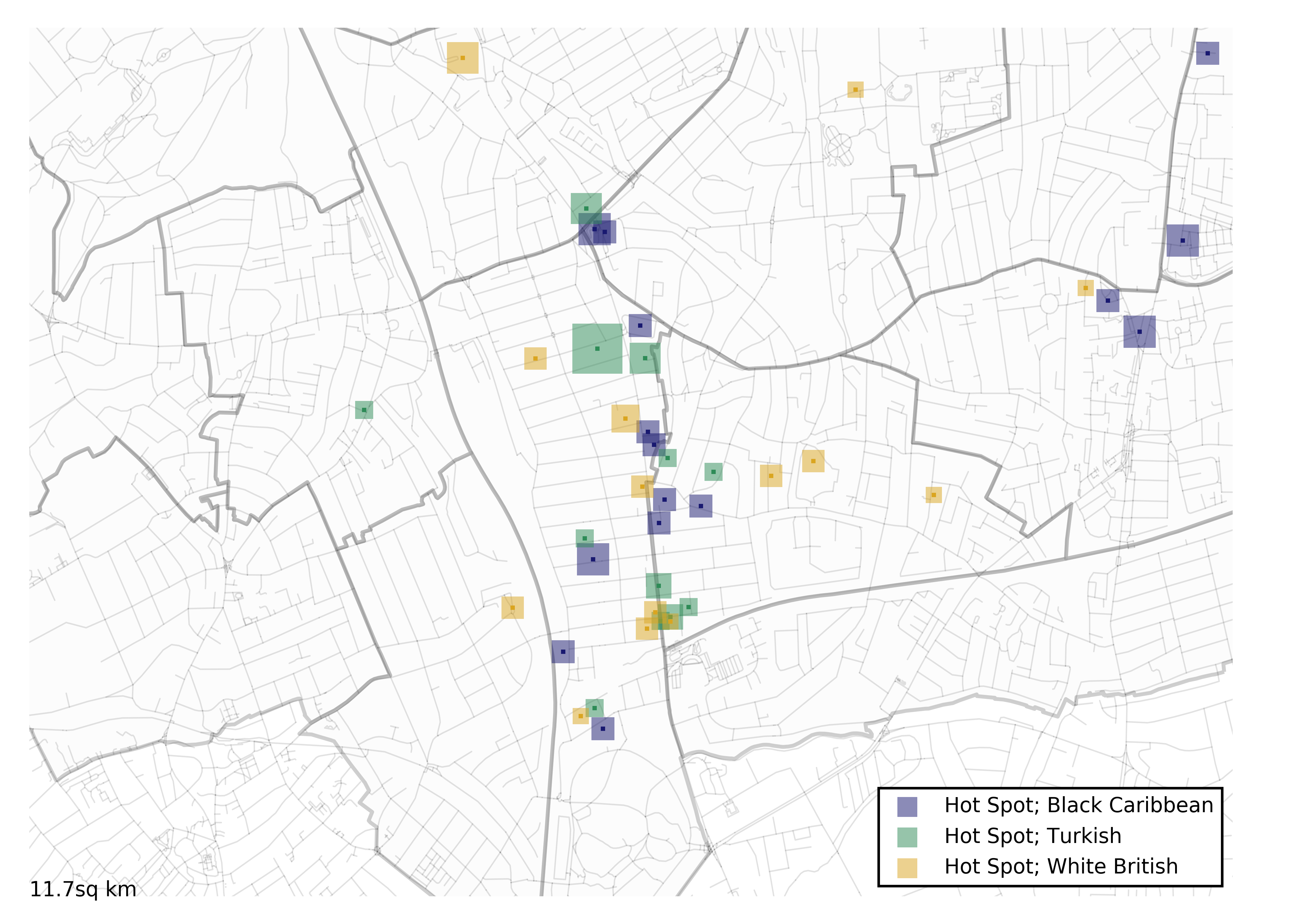
Harringay map of hotspots.
This maps shows the areas in which the residents of Harringay exchange vital information about local events and services with other neighbours. The image was produced as part of the project "Community through digital connectivity?: Communication Infrastructure in Multicultural London".
| Item Type | Audio/visual resource |
|---|---|
| Copyright holders | © 2016 OpenStreetMap contributors and 2016 Mapzen. © CC BY-SA 2.0 |
| Departments | LSE > Academic Departments > Media and Communications |
| Date Deposited | 23 February 2017 |
| URI | https://researchonline.lse.ac.uk/id/eprint/69557 |
Explore Further
- https://www.flickr.com/photos/146574108@N08/33057216965/in/photostream/ (Publisher)
- https://www.flickr.com/ (Official URL)